About us
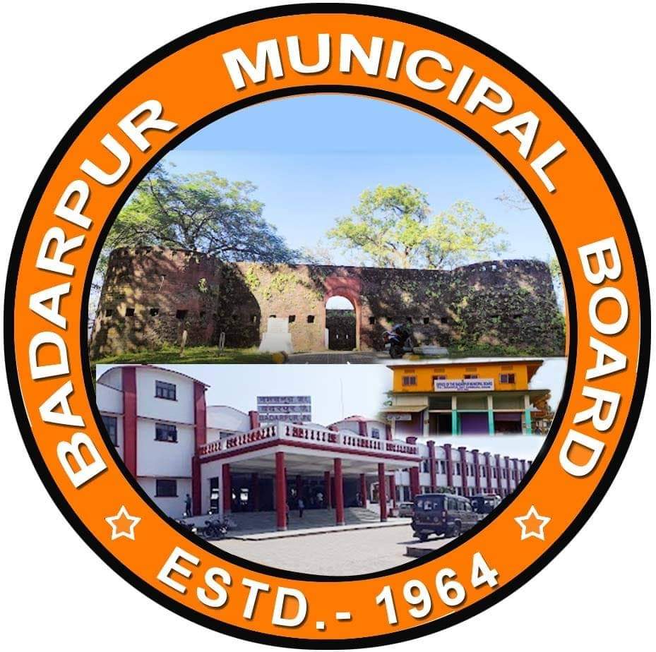
IT WAS FIRST ENACTED AND INTRODUCED BY THE THEN BRITISH GOVERNMENT UNDER METRE GAUGE RAIL LINES FROM BADARPUR TO LUMDING IN 1898. NOW A DAYS IT HAS BECOME THE CENTRE FOR VARIOUS EDUCATIONAL INSTITUTIONS AND INCLUDING HIGHER EDUCATION LIKE B.PHARM,D.PHARM ETC. THERE IS A HISTORICAL FORT BUILT BY CACHARI KING ON THE BANK OF BARAK RIVER. BADARPUR municipal area IS PART OF CACHAR (SILCHAR LOK SABHA CONSTITUENCY), AT PRESENT THE MLA CONSTUTENCY OF KATIGORAH LA-116.
4.90 Sq,Km (Municipal Area) Badarpur is located at 24.9°N 92.6°E.[1] It has an average elevation of 16 metres (52 feet). Badarpur is surrounded by river Barak on the north, Barail hill range in the east and southeast and villages and paddy field in the west.
The Badarpur Municipal Jurisdiction has population of 13,298 (2011 Census) of which 6,738 are males while 6,560 are females as per report released by Census India 2011. Population of Children with age of 0-6 is 1227 which is 9.23 % of total population of Badarpur Municipal area.total No of Ward is 11 in Badarpur Municipal juridisction. under Katigorah Revenue Circle.
Badarpur Municipal Board has total administration of over 4000 houses to which it supplies basic amenities like water, others facilities. It is also authorised to build roads, within the municipal areas and impose taxes on properties coming under its jurisdiction.


